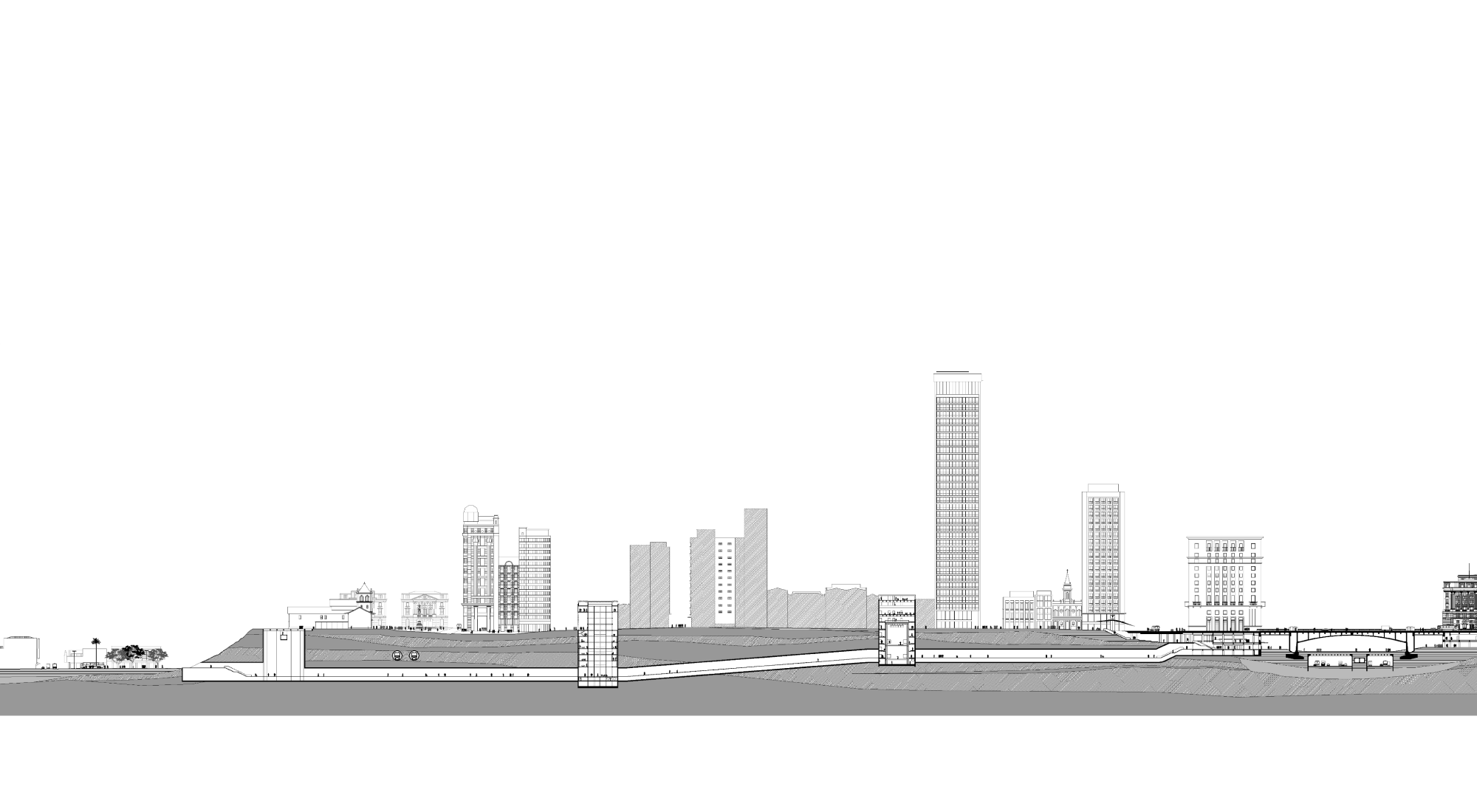
"The same rugged topography also determined this other characteristic feature that has already been mentioned, which are the viaducts; (...) the shape of the terrain imposes it. The city will end up with a truly complete system of suspended public roads that will give it a character perhaps unique in the world. With the viaducts will come the tunnels (...) and this will be another original feature of São Paulo which, with the other, will make it a city divided into two overlapping planes, a city of two floors." PRADO Jr., Caio
The project proposes that the historical factor, which is justifiably necessary for a research and discussion centered on the city, be present not only as a source of information, but that it be revealed in the significance of its implantation and its spatiality. Over time, the construction of the city has modified and masked the natural geographical conditions of São Paulo's original site. The implementation of the museum is based on the idea of suggesting a route that, by integrating itself to the city - its own object of study - in an unusual way, reveals its geography and provids a new reading of the construction, its spatiality and constant process of transformation, making a new urban experience possible.
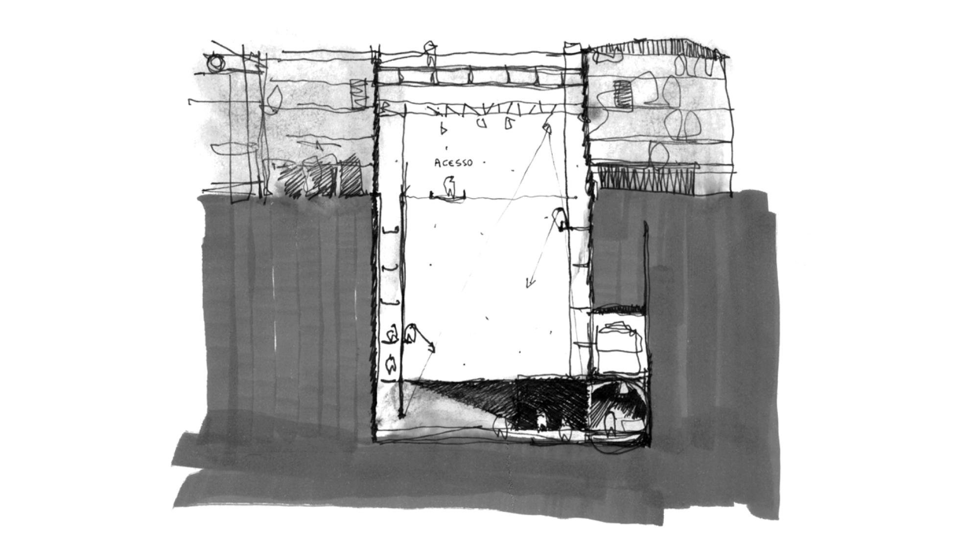
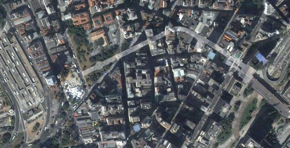
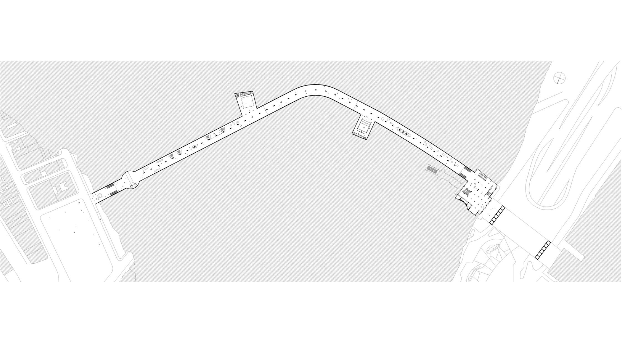
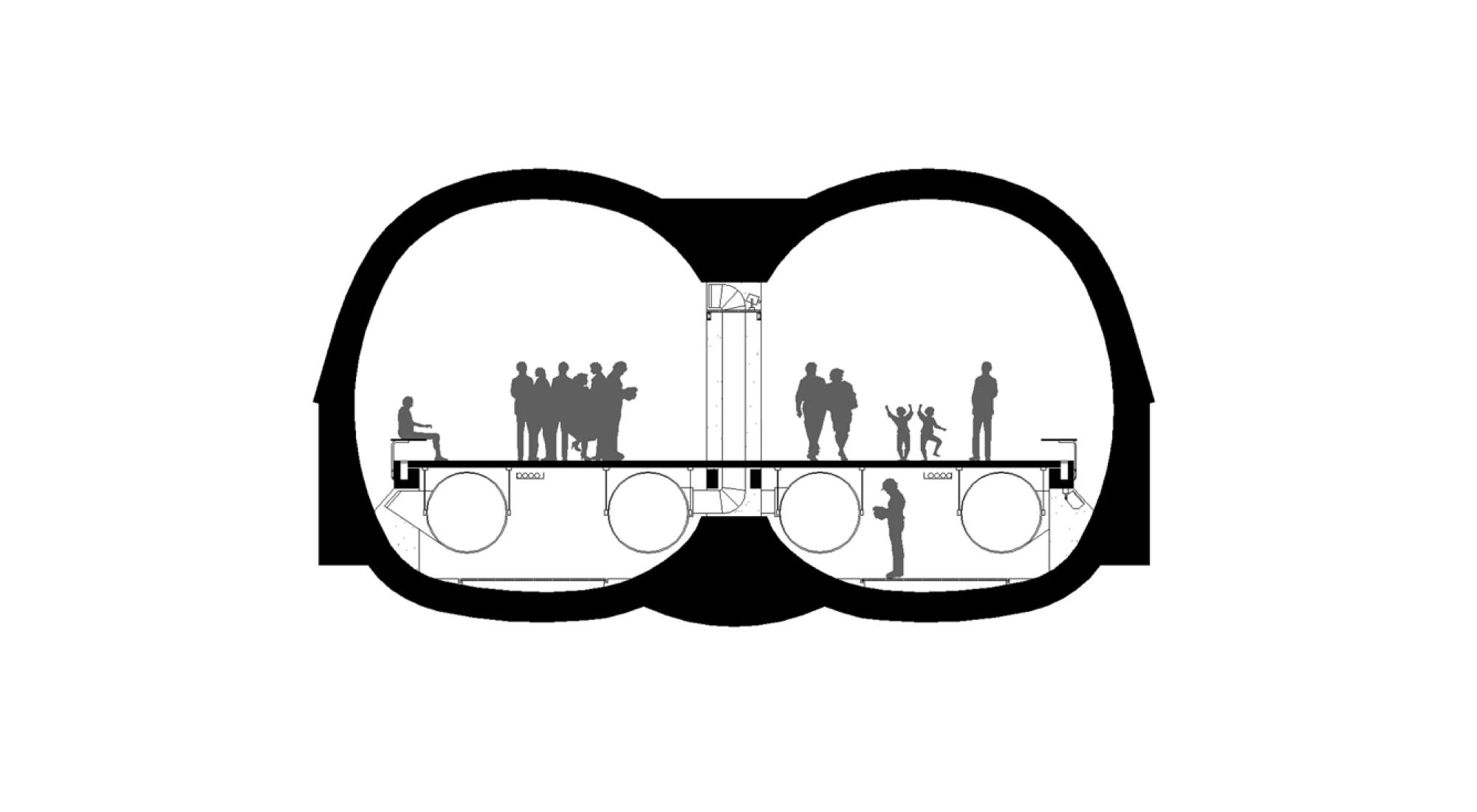
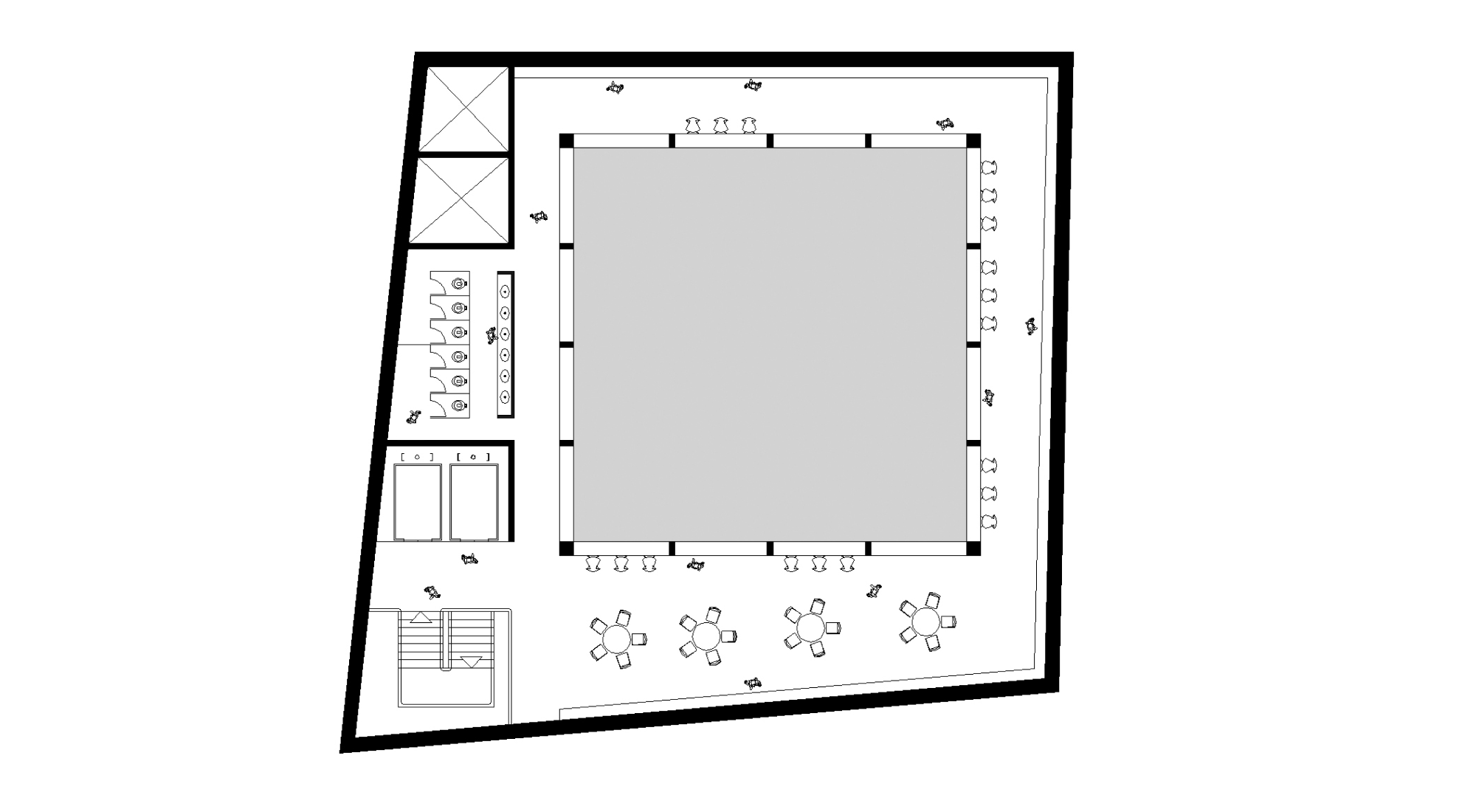
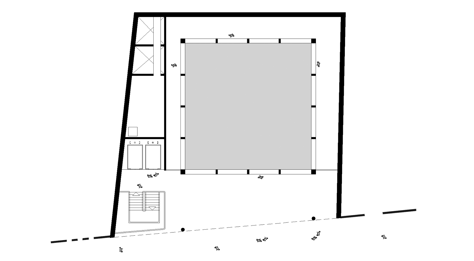
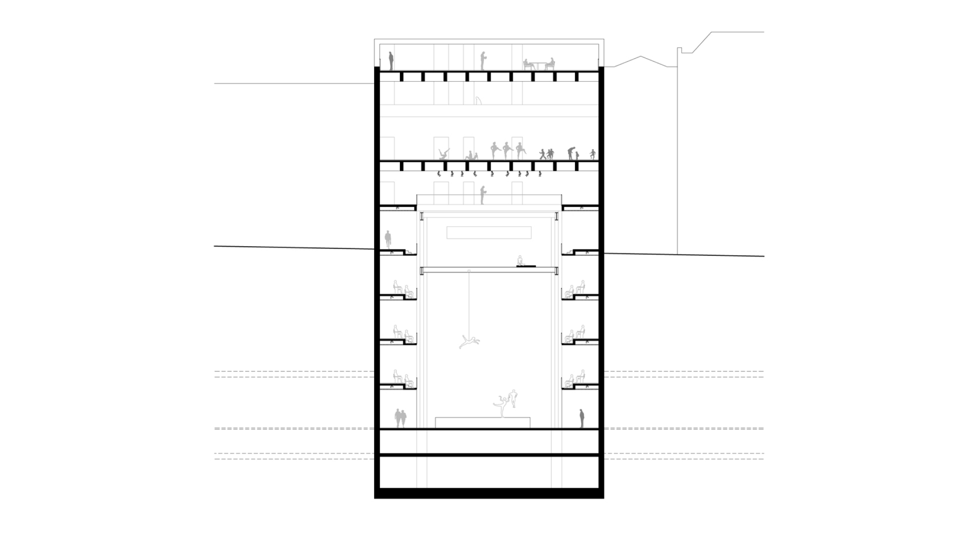
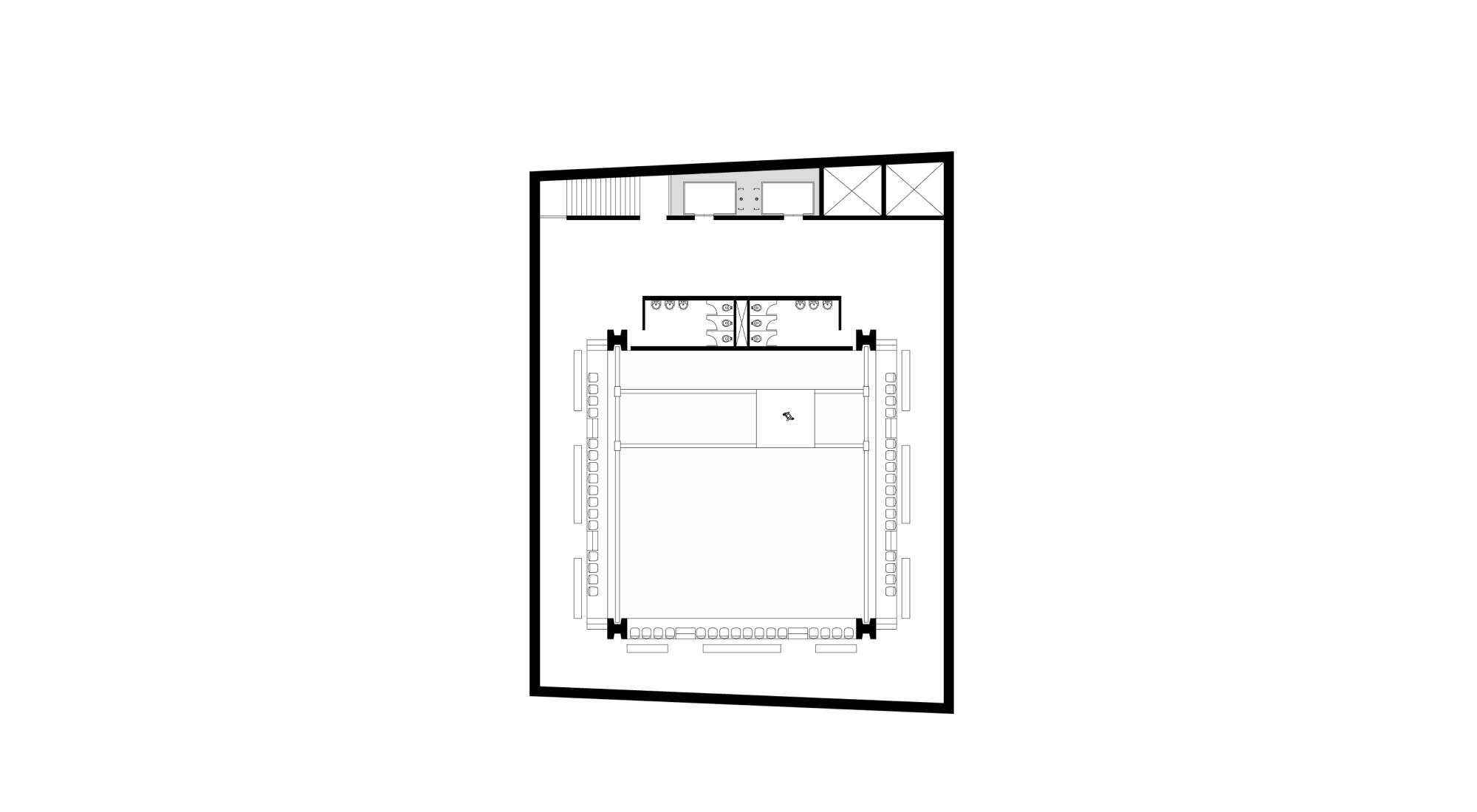
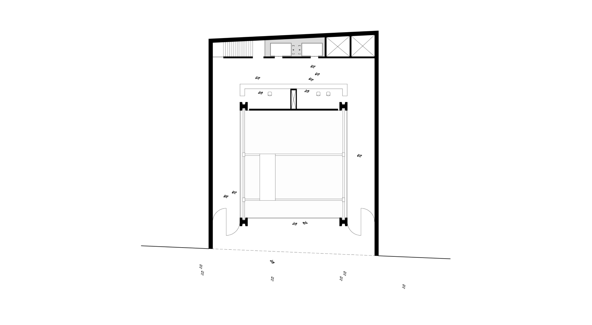
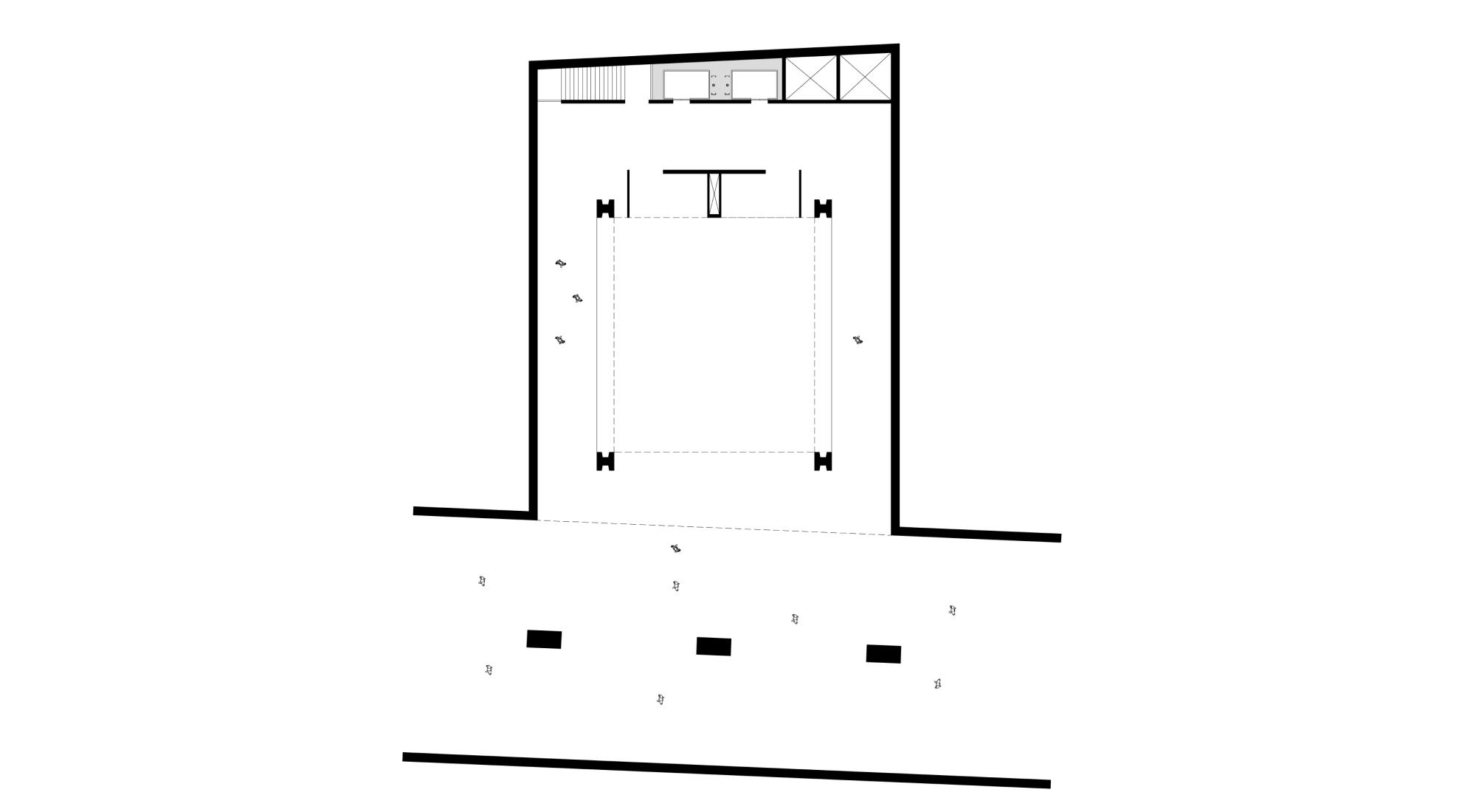
The floodplains of the Anhangabaú (elevation 738.00) and Tamanduateí (elevation 727.00) were chosen as the ends of a 630-meter-long underground pedestrian gallery, which emerges and integrates with the urban fabric through 3 connections: the theater on Rua Direita, the library on Rua XV de Novembro and access to the viewpoint in Pátio do Colégio. The underground gallery is an extension of the existing Prestes Maia Gallery, developing under Rua Direita, following Rua do Tesouro and Pátio do Colégio, ending at the base of the slope in front of Praça Fernando Costa (where the old Mercado-Caipira used to be). Overcoming its function as a passageway, it becomes an axis of permanence by providing spaces for permanent and temporary exhibitions that discuss the city.

